19 CAPTAIN SEARS ROAD ED
Owner Information
LEHRMAN RONALD J TRUSTEE
1185 PARK AVE APT #21
NEW YORK, NY 10128


Property Details
19 CAPTAIN SEARS ROAD ED is classified as a Single Family Residential (Cape).
The primary structure on this property was built in 1940. There are 3,630ft2 of built area within this property. There is 3,630ft2 of residential/living space within this property. This property is listed as having 10 rooms.
19 CAPTAIN SEARS ROAD ED is valued at $2,826,400. The land is valued at $1,937,500 and the structures are valued at $887,400. There is an additional valuation of $1,500 on this property.
19 CAPTAIN SEARS ROAD ED was last sold on Tuesday, November 26, 2013 for $0.
Assessment data from fiscal year 2022.
Flood Data
This property is partially within the VE Zone (coastal flooding with wave action). Approximately 0.35 acres (99.76%) of the property is within this zone.
The base flood elevation for this flood zone is 15 feet.
This information is sourced from the FEMA National Flood Hazard Layer. See our full disclamer.
Broadband Internet Providers
| Provider | Type | Bandwidth (mbps) | |
|---|---|---|---|
| GCI Communication Corp. | Satellite | 0 | 0 |
| Comcast | Cable | 1000 | 35 |
| Viasat Inc | Satellite | 35 | 3 |
| Verizon New England Inc. | DSL | 15 | 1 |
| HughesNet | Satellite | 25 | 3 |
| VSAT Systems, LLC. | Satellite | 2 | 1 |
| T-Mobile | Fixed Wireless | 25 | 3 |
Broadband service provider data from December 2020.
Adjacent Properties
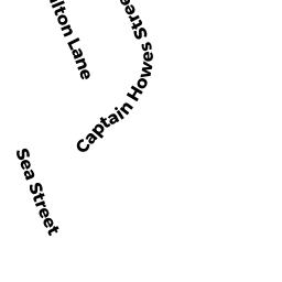
- 34 CAPTAIN HOWES STREET ED
Vacant, Tax Title/Treasurer owned by TOWN OF DENNIS - 14 GIRARD LANE ED
Single Family Residential owned by MORAN PETER JEFFREY ET ALI - 44 CAPTAIN HOWES STREET ED
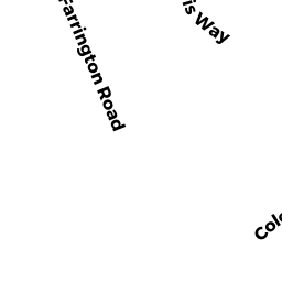
Developable Residential Land owned by LEHRMAN RONALD J TRUSTEE - 3 FARRINGTON ROAD ED
Undevelopable Residential Land owned by CRONIN MICHAEL ET ALI